Doi Inthanon is Thailand’s highest mountain, 2,565 m, at the centre of Doi Inthanon National Park in Chom Thong district, southwest of Chiang Mai. A day here follows one long road up the mountain, Route 1009, with stops along the way: waterfalls on the lower slopes, Karen and Hmong villages with rice terraces and coffee in the middle, and the twin royal pagodas and the summit near the top.
It suits families and older parents, because most stops are a short walk from the car park. Two things catch people out: the cold, as the summit can drop below freezing on winter mornings, and the seasons, as Kew Mae Pan, the park’s well-known ridge trail, is closed five months a year.
Trail seasons, hours and fees are set by the park and change. The details below were checked in October 2026, so check before you go.
What to see on Doi Inthanon
Most sights sit along Route 1009, whose kilometre markers count up from the bottom: the park checkpoint is at km 8, the summit at km 48.
The summit and the Ang Ka nature trail
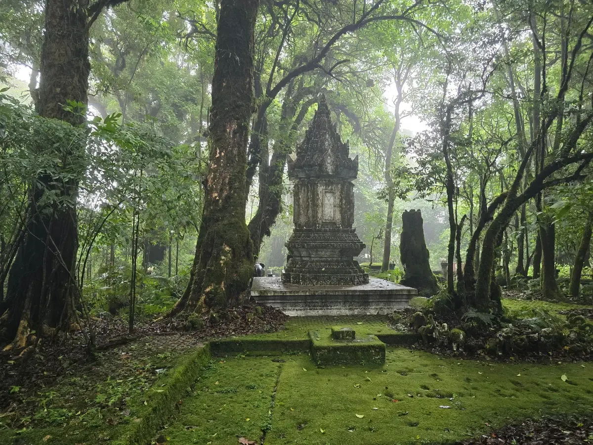
At the top there’s a sign marking Thailand’s highest point and a small stupa holding the ashes of Inthawichayanon, a ruler of Chiang Mai the mountain is named after. Note that the summit is wooded and often misty, so there’s no sweeping view from the top itself. The views are lower down, at the pagodas and Kew Mae Pan.
Next to the summit, the Ang Ka nature trail is a short boardwalk loop, roughly 300–360 m, through moss-covered cloud forest and a sphagnum bog. It takes 20–30 minutes at an easy pace. The boards get slippery when wet.
The King and Queen pagodas
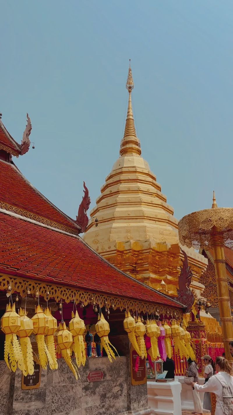
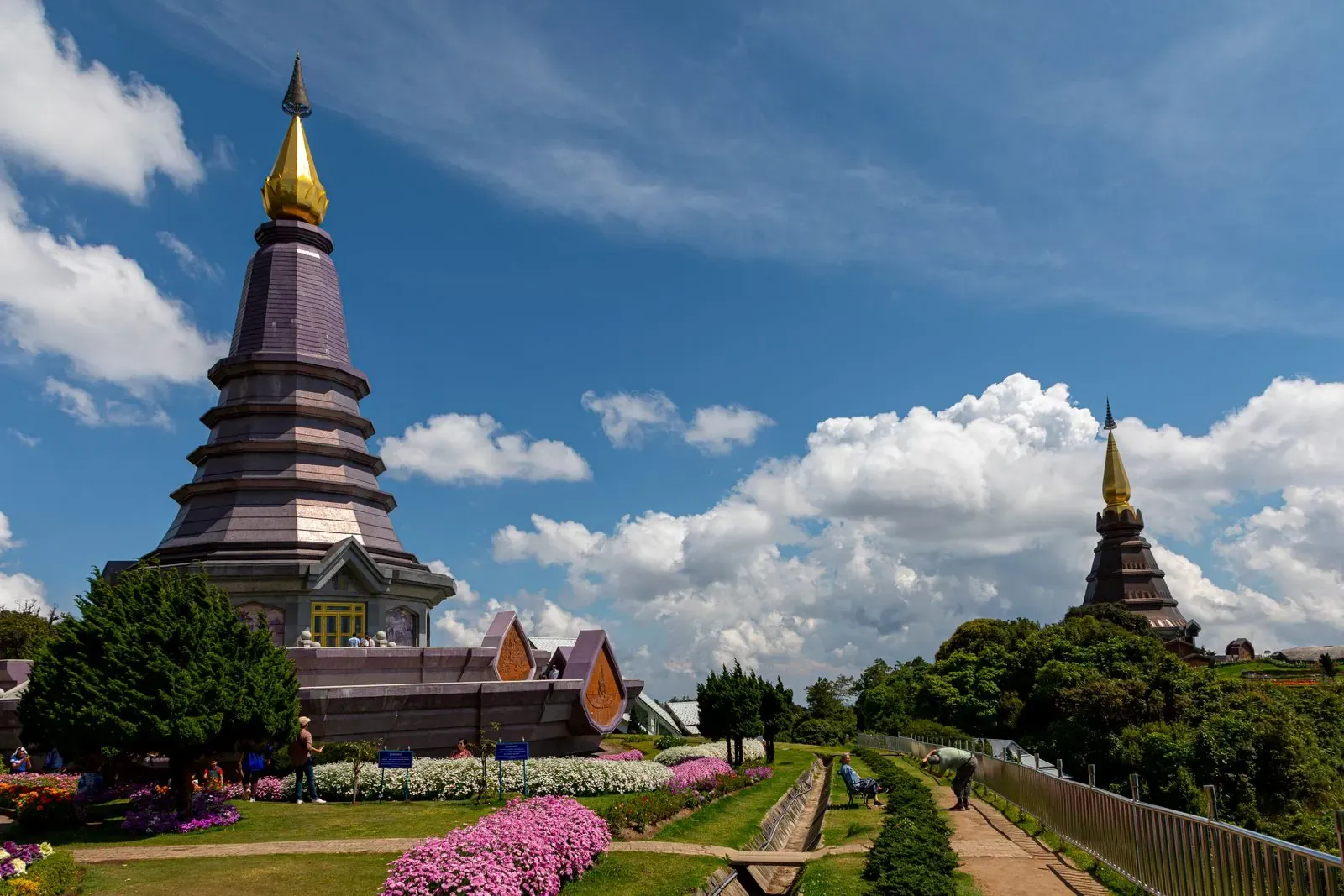
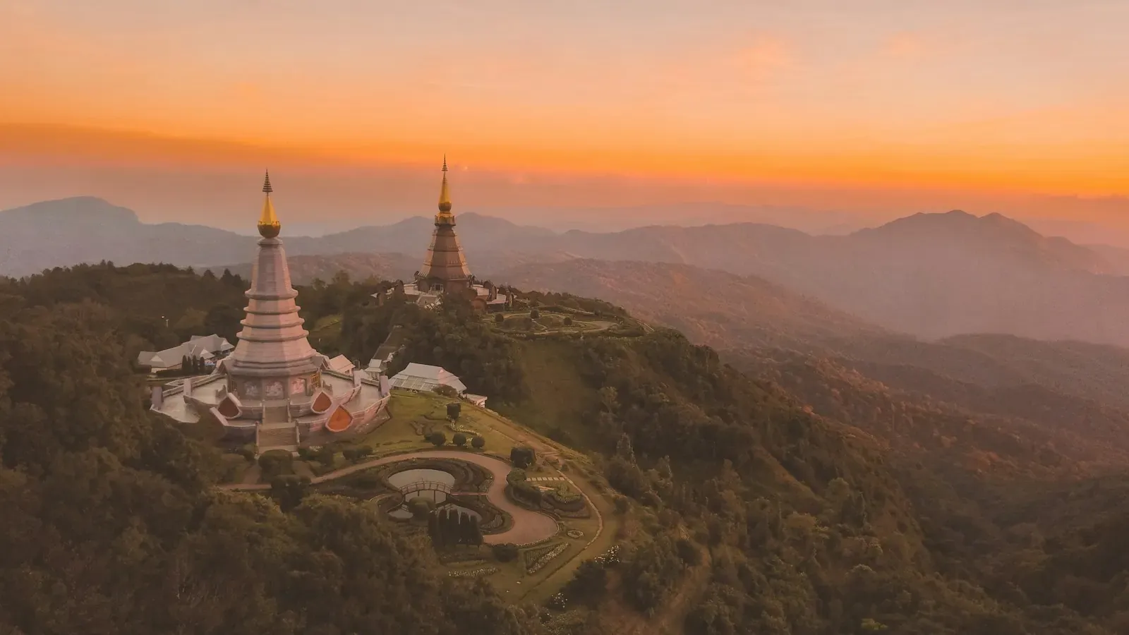
Around km 41–42 stand two pagodas built for the 60th birthdays of King Bhumibol (Naphamethanidon, 1987) and Queen Sirikit (Naphaphonphumisiri, 1992). They sit among terraced flower gardens, with a viewpoint over the west side of the park. The pagodas aren’t run by the national park and charge their own entry. From the car park there are stairs, and visitors report an escalator as well. Allow about an hour, and dress as you would for a temple.
Waterfalls
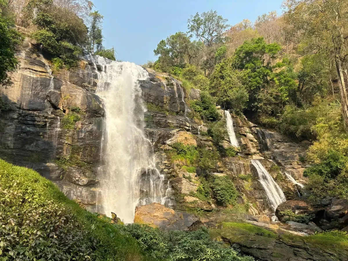
Wachirathan is one of the most visited falls, right beside the main road on the lower half of the mountain. It drops over a granite cliff and throws out a lot of spray in the rainy season, so expect to get damp at the viewing area. Swimming isn’t allowed.
Mae Klang, near the park entrance, is the first waterfall on the road up. Siriphum can be seen from Khun Klang village, near the park headquarters.
Mae Klang Luang rice terraces and coffee
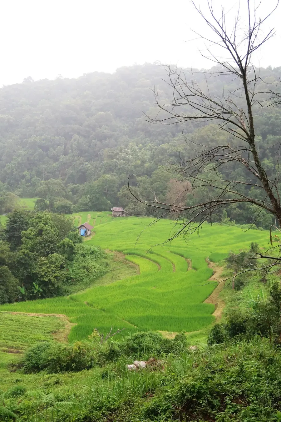
Mae Klang Luang is a Karen village a few kilometres from the park headquarters, known for terraced rice fields and small coffee farms with cafés. The terraces change with the rice: green through the rainy season, roughly August to October, golden for a short window around late October and early November before the harvest, then bare stubble. The timing shifts every year. People live and farm here, so stay on the paths and ask before photographing anyone.
Kew Mae Pan nature trail (seasonal)
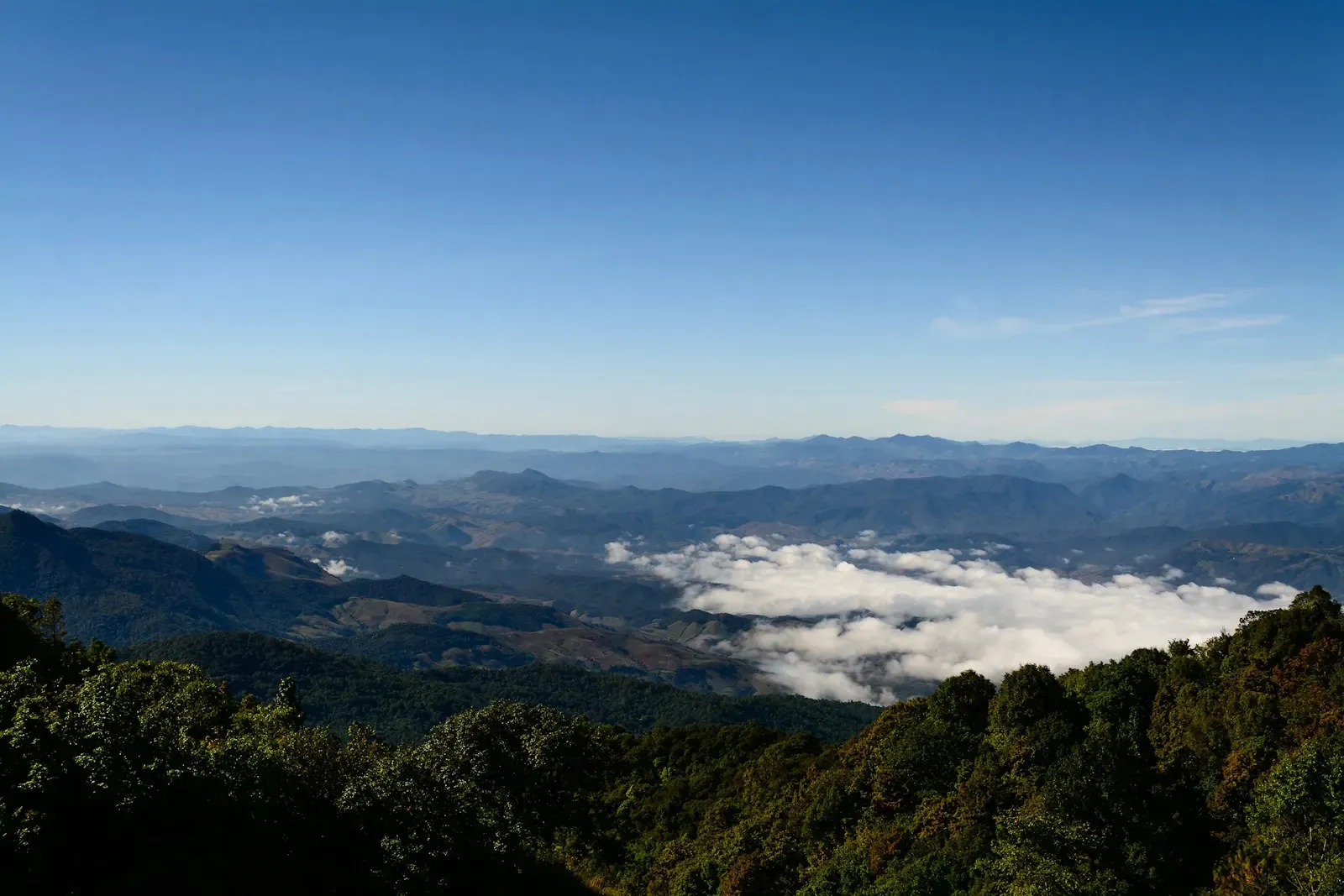
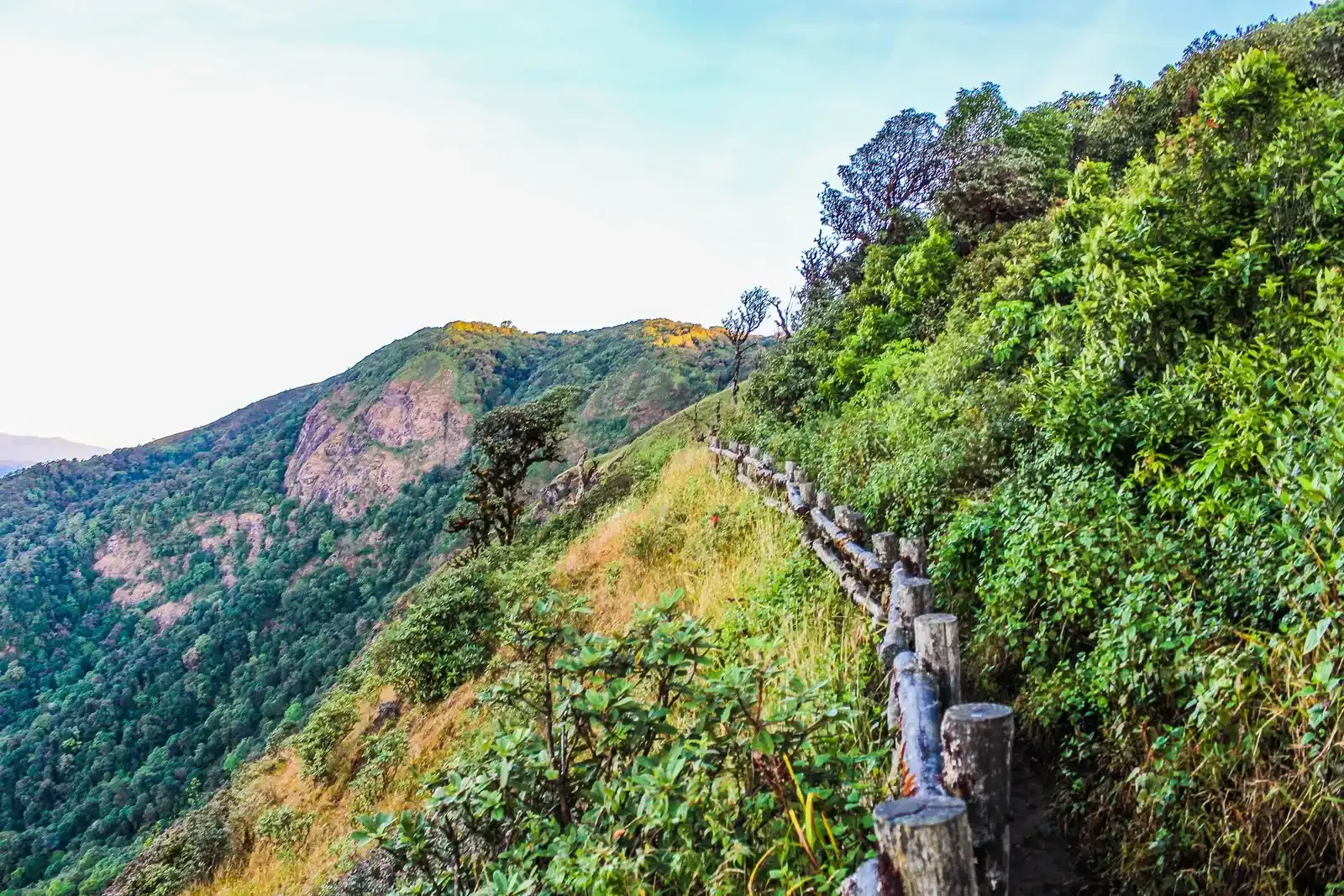
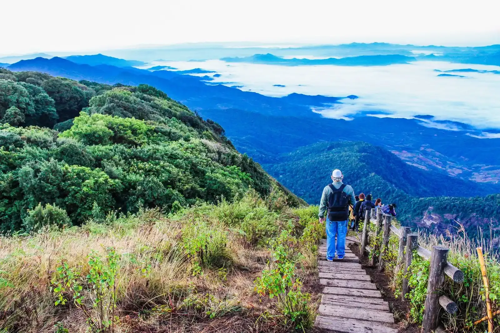
Kew Mae Pan starts at km 42, near the pagodas. It’s a loop of about 3 km along a ridge at around 2,200 m, through cloud forest and open grassland with wide views. Allow about three hours.
- Season. The park closes the trail every year from 1 June to 31 October so the forest can recover, and it usually reopens on 1 November. Check the park’s announcement before you go.
- Local guide required. By park rules, you can only walk it with a local guide from the community, hired at the trailhead.
- Fitness. There are steep ups and downs. The park advises people with heart disease or high blood pressure not to take this trail.
Even when the trail is closed, the viewpoint by the road at the trailhead is a popular sunrise spot.
A suggested order of stops
A full day might look like this:
- 07:30 Leave Chiang Mai, about 1 h 30 min to the first stop
- 09:00 Wachirathan Waterfall, about 30 min, then 45 min up the mountain
- 10:15 The summit and the Ang Ka nature trail
- 11:00 King and Queen pagodas, about 1 h with a walk in the gardens
- 12:30 Lunch at a hill-tribe market
- 14:00 Rice terraces and a coffee farm, then about 1 h 45 min back to the city
The idea is to drive up while the day is fresh, see the high points first and work your way down. If Kew Mae Pan is open and you want to walk it, add about three hours and drop other stops.
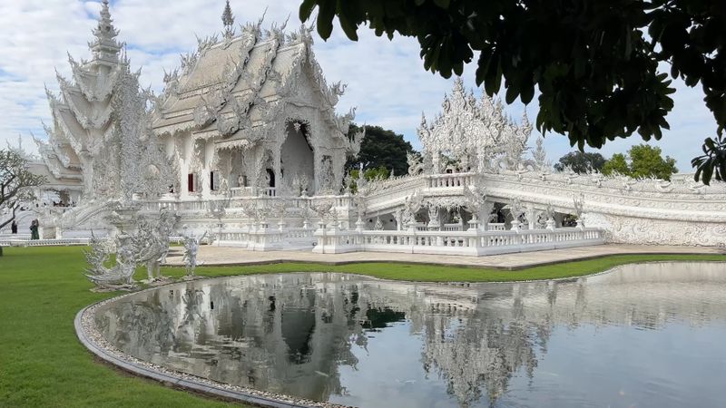
If a full day is too much, Doi Suthep is a half-day trip from the Old City. For a longer day out, see the White Temple in Chiang Rai.
Cold, altitude and the mountain road
Cold. In January the summit averages around 6°C, and on the coldest mornings of December and January it drops below freezing, with frost on the grass. This season has already turned cool: on 9 October 2026, the summit’s morning low was 10°C. Bring a warm jacket from November to February and at least a fleece the rest of the year.
Altitude. At 2,565 m most people feel fine, but stairs and slopes leave you out of breath sooner than usual. Walk slowly, especially at the pagodas, and rest often. Anyone with a heart or breathing condition should take it easy and skip the steep trails.
The road. Route 1009 climbs steadily with many bends. If someone gets car sick, sit them in front, eat light and stop when needed. In the rainy season, fog can cut visibility near the top.
How to get to Doi Inthanon from Chiang Mai
The park is about 100 km from the city: south on Route 108 to Chom Thong, then up Route 1009. You pay park entry at the checkpoint at km 8.
Red truck (songthaew). Public transport via Chom Thong takes at least 2.5–3 hours, and you’d still need a way to get between stops on the mountain.
Grab or Bolt. Fine for leaving the city, but don’t count on finding a car to take you back down from the mountain.
Your own car or scooter. Full flexibility, but the climb and descent are long and steep. Use a low gear on the way down, and on a scooter, dress for the cold.
Shared minivan day trip. Sold by agencies in Chiang Mai, usually covering the main stops on a fixed schedule.
Car with driver for the day. Convenient for families with young children or older parents: nobody has to drive the mountain road, and you can stop when someone needs a break. Arrange it in advance and agree the stops and hours.
When to go
November to February. Cool, dry and usually clearer. Kew Mae Pan reopens on 1 November, frost is possible in December and January, and rhododendrons flower from January to March. It’s also the busiest time: New Year and long holidays bring traffic jams deep into the park, and weekends are busier than weekdays.
March and April. Burning season. The valleys are often hazy, but the mountain can still be clear above the haze on some days. Check the air quality on the morning you go.
May to October. Green season. Waterfalls are at full flow and the rice terraces turn green, but the summit is often in cloud, roads are wet and Kew Mae Pan is closed.
Doi Inthanon tips
- Shoes. Closed shoes with grip. Boardwalks and stairs get slippery.
- Cash. For park entry, the pagodas, market stalls and village cafés.
- With kids. Small children feel the cold first, so dress them in easy layers.
FAQ
How long does it take to get to Doi Inthanon from Chiang Mai? About 1.5 hours by car to Wachirathan Waterfall, then roughly another 45 minutes up to the summit.
Do I need tickets? You pay the national park entry fee at the checkpoint, with different rates for Thai and foreign visitors, and the King and Queen pagodas charge their own entry. Fees change, so check the Department of National Parks’ official channels for current rates.
Is Kew Mae Pan open now? It closes every year from 1 June to 31 October and usually reopens on 1 November. Check the park’s announcement. You’ll need to hire a local guide at the trailhead.
Questions before you go?
Questions about visiting? Message us on WhatsApp.